
Transfer destinations
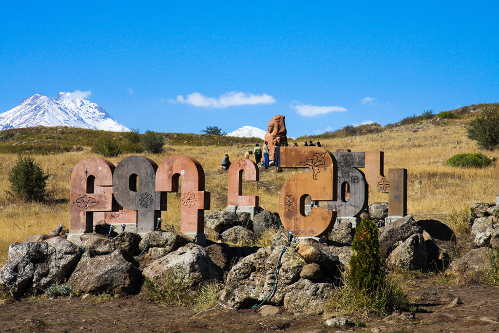
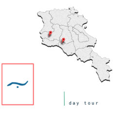
The Armenian Alphabets are a must see if you’re Armenian. These hand-crafted monuments represent our very own alphabet that was made by Mesrob Mashtots.
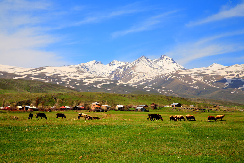
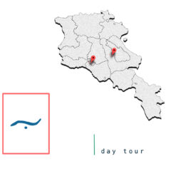
Learn More …Mount Aragats is an isolated four-peaked volcano massif in Armenia. Its northern summit, at 4,090 m (13,420 ft) above sea level, is the highest point of the Lesser Caucasus and Armenia. It is also one of the highest points in the Armenian Highlands. The Aragats massif is surrounded by Kasagh River on the east, Akhurian River on the west, Ararat plain on the south and Shirak plain on the north. The circumference of the massif is around 200 km (120 mi), and covers an area of 6,000 km2 (2,300 sq mi) or around 1⁄5 of Armenia’s total area. 944 km2 (364 sq mi) of the massif is located above 2,000 m (6,600 ft). Numerous engravings have been around the volcano, including rock paintings portraying animals and human-like figures in Kasagh River valley possibly of early Holocene age, and in Aghavnatun on the southern side of the volcano including petroglyps showing
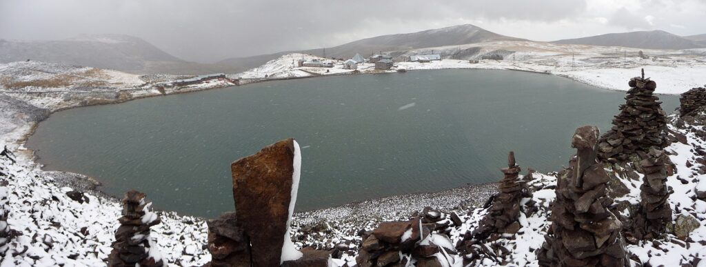
Learn More …Lake Kari is a lake in Armenia located on the slopes of Mount Aragats. Most of its water comes from ice and snow. It is located 3,185 m above the sea level and has a perimeter of 1,150 m. From Byurakan village an asphalt automobile road stretches towards the source of Arkashen River, the lake Kari, located on a plateau below the peaks. On the eastern side of the lake there is a meteorological station.
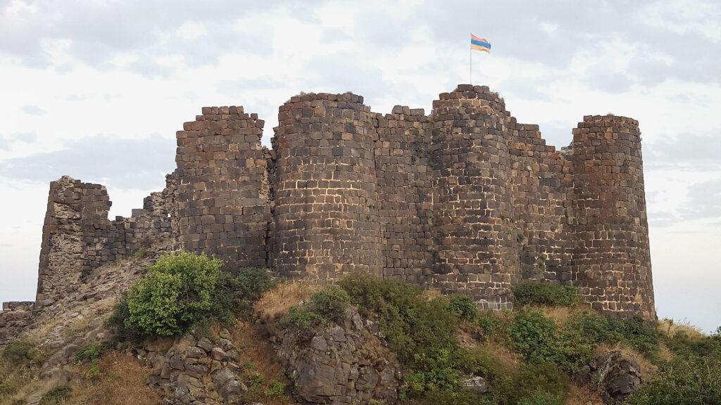
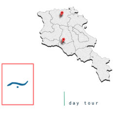
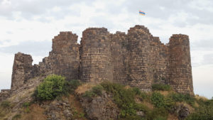
Learn More …Amberd is a 10th-century fortress located 2,300 meters above sea level, on the slopes of Mount Aragats at the confluence of the Arkashen and Amberd rivers in the province of Aragatsotn, Armenia. The name translates to “fortress in the clouds” in Armenian. It is also the name incorrectly attributed to Vahramashen Church, the 11th-century Armenian church near the castle. The village of Byurakan is 6.4 kilometres from the site of Amberd.
Learn More …


What others are saying
There are no contributions yet.